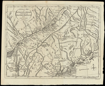
An Exact Map of the Province of Quebec, with Part of New York & New England from the Latest Surveys.
Collection: Osher Collection
Name: An Exact Map of the Province of Quebec, with Part of New York & New England from the Latest Surveys.
Barcode: 826
Creator: Lodge, John, -1796
Printmaker: Lodge, John, -1796
From Atlas: No
Notes: Note: "J. Lodge, sculp."
Publisher: Lodge, John, -1796
Date/Date Range Produced: 1778
Date/Date Range Published: 1778
Language: English
Region Depicted: MaineNew HampshireNew York (State)Vermont
Map Type: GeographicalPolitical maps
Dimensions: H 21 x W 27 cm.
Material Type: Paper
LC Call Number:
OCLC: 869472698
Donor: Osher
Subjects: Colonial AmericaMaineMaps--Early works to 1800New HampshireNew York (State)Quebec (Province)Saint Lawrence RiverVermont
Permenant URL: https://oshermaps.org/map/826.0001