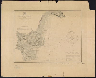
York River Harbor, Maine Triangulation by T. J. Cram Capt. U.S. Topl. Engrs. Assistant, Topography by A. W. Longfellow Assist., Hydrography by the Part under the command of Lieut. M. Woodhull U.S.N. Assist.
Collection: Story Collection
Name: York River Harbor, Maine Triangulation by T. J. Cram Capt. U.S. Topl. Engrs. Assistant, Topography by A. W. Longfellow Assist., Hydrography by the Part under the command of Lieut. M. Woodhull U.S.N. Assist.
Barcode: 14404
Creator: U.S. Coast and Geodetic Survey
Publisher: U.S. Coast and Geodetic Survey
Publishing Location: Washington D.C.
Notes: Notes above neat line: "No. 328 Price 15 Cents" "Plate No. 527" "Electrotype Copy No. 1 by G. Mathiot U.S.C.S."
Notes below neat line: "Redd. Drng. by F. Fairfax. Engd. by A. Macdel, J. Young & C.A. Knight."
Includes charts of tides.
Date/Date Range Produced: 1854
Language: English
Region Depicted: York Harbor, Maine
Dimensions: 31 x 49
LC Call Number: G3732.Y6P5 1879 .U5
OCLC: 45088850
Accession Number: ST-1879-22
Donor: Story
Permenant URL: https://oshermaps.org/map/14404.0001