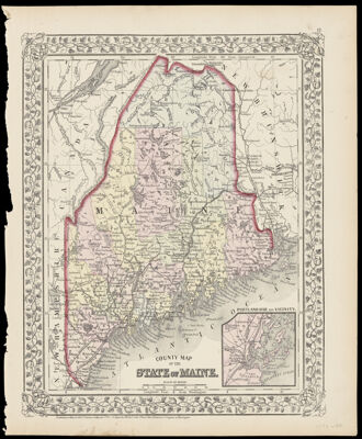
County Map of the State of Maine.
Collection: Osher Collection
Name: County Map of the State of Maine.
Barcode: 1143
From Atlas: Yes
Publishing Location: Philadelphia
Notes: Note: "Entered according to Act of Congress in the year 1872 by S. Augustus Mitchell in the Office of the Librarian of Congress at Washington." "12." in upper right corner of the sheet.
Publisher: Mitchell, S. Augustus, Jr. (Samuel Augustus)
Date/Date Range Produced: 1872
Date/Date Range Published: 1872
Language: English
Region Depicted: MainePortland Harbor, Maine
Map Type: GeographicalPolitical maps
Dimensions: H 38.2 x W 31.2 cm
Material Type: Paper
LC Call Number: G3730 .M58 1872
OCLC: 54525030
Donor: Osher
Subjects: CountiesMaine--MapsMountainsPortland Harbor, MaineRivers and lakes
Permenant URL: https://oshermaps.org/map/1143.0001