Gray's Atlas Map of Maine

Collection: Osher Collection

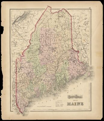
Name: Gray's Atlas Map of Maine

Barcode: 1146

Creator: Gray, O. W. (Ormando Wyllis), 1829-1912

From Atlas: Yes

Publishing Location: Philadelphia

Notes: "89" at upper right corner of the sheet. Map of Vermont and New Hampshire on verso.

Publisher: Gray, O. W. (Ormando Wyllis), 1829-1912

Date/Date Range Produced: 1873

Date/Date Range Published: 1873

Language: English

Region Depicted: Maine

Map Type: GeographicalPolitical maps

Dimensions: 37 x 30 cm.

Material Type: Paper

LC Call Number: G3730 .G72 1873

OCLC: 55519987

Accession Number: OS-1873-16

Donor: Osher

Subjects: CanalsCountiesMaine--MapsMountainsRailroadsRivers and lakes

Permenant URL: https://oshermaps.org/map/1146.0001