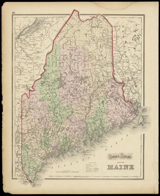
Gray's Atlas Map of Maine
Collection: Osher Collection
Name: Gray's Atlas Map of Maine
Barcode: 1148
Creator: Gray, O. W. (Ormando Wyllis), 1829-1912
From Atlas: Yes
Notes: "86" printed in upper left corner of the sheet. Verso: "Gray's Atlas Map of the United States of America 1873."
Publisher: Gray, O. W. (Ormando Wyllis), 1829-1912
Date/Date Range Produced: 1873
Date/Date Range Published: 1873
Language: English
Region Depicted: Maine
Map Type: GeographicalPolitical maps
Dimensions: 38 x 30 cm.
Material Type: Paper
Accession Number: OS-1873-19
See Also: Gray's Atlas Map of the United States of America 1873.
Donor: Osher
Subjects: CanalsCountiesMaine--MapsMountainsRailroadsRivers and lakes
Permenant URL: https://oshermaps.org/map/1148.0001