Collection: Osher Map Library Collection
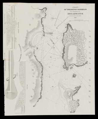
Name: Chart of Owlshead Harbour and projections of a breakwater
Barcode:
Date/Date Range Published: 1837
Language:
Map Type:
Dimensions: 35 x 44 cm
LC Call Number: G3732.O9 P5 1836.B3
OCLC: 880908051
Accession Number: OML-1837-17
Permenant URL: