Collection: Osher Map Library Collection
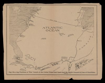
Name: Map showing positions of war vessels of the United States and Spain and the battle ground in case of hostilities
Barcode:
Publishing Location:
Publisher:
Language:
Region Depicted:
Map Type:
Dimensions: 24 x 31 cm
LC Call Number: E714 1898.W3
OCLC: 1050339130
Permenant URL: