Collection: Osher Map Library Collection
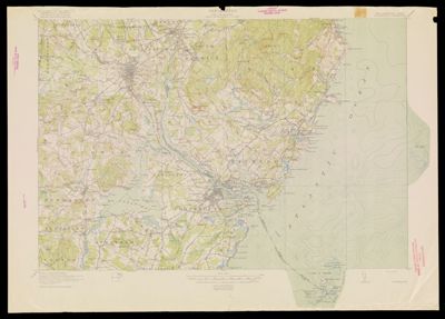
Name: Topography : New Hampshire-Maine Portsmouth Quadrangle
Barcode:
Creator:
Publisher:
Date/Date Range Produced:
Date/Date Range Published:
Language:
Region Depicted:
Map Type:
Dimensions:
LC Call Number:
OCLC: 261174369
Donor:
Permenant URL: