Collection: Osher Map Library Collection
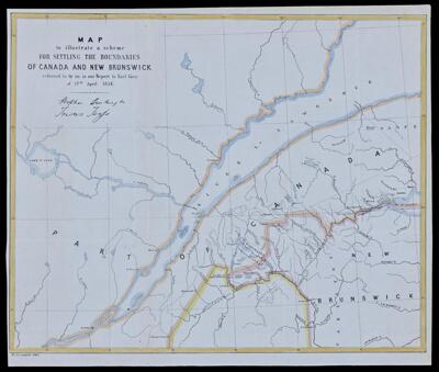
Name: Map to illustrate a scheme for settling the boundaries of Canada and New Brunswick referred to us in our report to Earl Grey of 17th April 1851.
Barcode:
Date/Date Range Produced:
Date/Date Range Published:
Language:
Dimensions: 41 x 51
Notes:
LC Call Number: G3401.F2 1851.M3
OCLC: 945734438
Accession Number: OML-1851-51
Permenant URL: