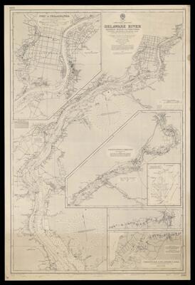
United States. East Coast. Delaware River. Bombay Hook to Trenton, including Chesapeake & Delaware Canal, from the United States Government charts to 1945.
Collection: Osher Map Library Collection
Name: United States. East Coast. Delaware River. Bombay Hook to Trenton, including Chesapeake & Delaware Canal, from the United States Government charts to 1945.
Barcode: 50664
From Atlas: No
Notes: Chart no. 2564. Originally published 1933. "New edition . . . 14th March, 1947." Insets: Port of Philadelphia, Continuation to Trenton, Chesapeake & Delaware Canal, Index of Charts within Chesapeake Bay & Delaware Bay & River.
Publisher: Hydrographic Office of the Admiralty
Date/Date Range Produced: 1947
Date/Date Range Published: 1947
Language: English
Dimensions: H 103 x W 69.5 cm
Accession Number: OML-1947-106
Donor: Jackson
Permenant URL: https://oshermaps.org/map/50664.0001