Collection: Osher Map Library Collection
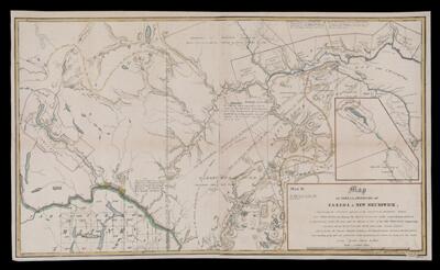
Name: Map of the provinces of Canada & New Brunswick comprehending the territory adjacent to the unsettled boundary between these provinces and shewing the position & extent of the lands already granted or appropriated within the same under the authority of each of two provinces respectively, including also the Ristigouche River drawn from actual surveys which forms the present adopted line of boundary between Canada & New Brunswick, from the head of the Bay des Chaleurs to the exploratory due north line traced from the source of the Saint Croix River.
Barcode:
Creator:
Publishing Location:
Notes:
Date/Date Range Produced:
Date/Date Range Published:
Language:
Dimensions: 58 x 99
LC Call Number: G3400.F2 1845 M3
OCLC: 948202310
Accession Number: OML-1845-38
Permenant URL: