Collection: Osher Map Library Collection
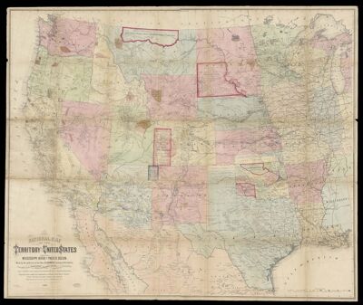
Name: National map of the territory of the United States from the Mississippi River to the Pacific Ocean
Barcode:
Creator:
Publishing Location:
Notes:
Date/Date Range Produced:
Date/Date Range Published:
Language:
Map Type:
Dimensions: 120 x 145 cm folded to 26 x 32 cm in slipcase
LC Call Number: G3700 1867.K4
OCLC: 1102681500
Accession Number: OML-1867-50
Permenant URL: