Kansas
Collection: Osher Map Library Collection
Name: Kansas
Barcode: 49778
Creator: Kansas. Department of Education
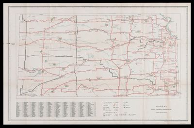
Notes: On verso: "Kansas transportation map, American guide," showing railroads, interurbans and electric railroads, bus routes, and air lines. Shows highways, historical points of interest, state parks, recreation spots, cemeteries, churches, schools, forts, mining, swamp, ruins, sand hills, and landing fields.
Date/Date Range Produced: 1939
Date/Date Range Published: 1939
Language: English
Region Depicted: Kansas
Map Type: Transportation maps
Dimensions:
LC Call Number: G4200 1939 .F4
OCLC: 31088073
Permenant URL: https://oshermaps.org/map/49778.0001