Collection: Osher Map Library Collection
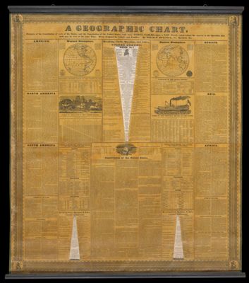
Name: A geographic chart to which are added extracts of the Constitution of each of the states, and the Constitution of the United States with many useful tables upon a new plan, which brings the answer to the question that both may be seen at the time
Barcode:
Creator:
Publisher:
Date/Date Range Published:
Language:
Region Depicted:
Map Type:
Dimensions: 53724.0001 including roller frame: H 115.5 x W 102 cm, 53724.0002: diameter 93 cm, 53724.0003: diameter 48 cm, 53724.0004: diameter 47.5 cm
LC Call Number: G3201.E68 1833 B5
OCLC: 1120721441
Permenant URL: