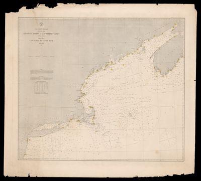
Atlantic coast of the United States (in four sheets) : Sheet no. I, Cape Sable to Sandy Hook
Collection: Osher Map Library Collection
Name: Atlantic coast of the United States (in four sheets) : Sheet no. I, Cape Sable to Sandy Hook
Barcode: 53745
Notes: Upper right: "Electrotype copy No. 1 by G. Mathiot, U.S.C.S."
Publisher: United States Coast Survey
Date/Date Range Produced: 1864
Date/Date Range Published: 1864
Language: English
Region Depicted: Atlantic Coast (North America)
Map Type: Nautical charts
Dimensions: 59 x 68 cm
LC Call Number:
OCLC: 793040624
See Also: Atlantic coast of the United States (in four sheets) : Sheet no. II, Nantucket to Cape HatterasAtlantic coast of the United States (in four sheets) : Sheet no. III, Cape Hatteras to Mosquito InletAtlantic coast of the United States (in four sheets) : Sheet no. IV, Mosquito Inlet to Key West
Permenant URL: https://oshermaps.org/map/53745.0001