Map of the New England and Middle Atlantic States

Collection: Osher Map Library Collection

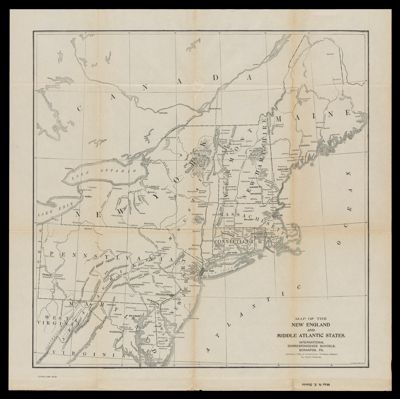
Name: Map of the New England and Middle Atlantic States

Barcode: 53759

Publishing Location: Scranton, PA

Notes: Part of the International Correspondence Schools reference library maps set

Publisher: International Correspondence SchoolsInternational Textbook Company

Date/Date Range Produced: 1906

Date/Date Range Published: 1906

Language: English

Region Depicted: Eastern United States

Map Type: Railroad maps

Dimensions: 47 x 46 cm

LC Call Number:

OCLC: 918867843

Permenant URL: https://oshermaps.org/map/53759.0001