Collection: Osher Map Library Collection
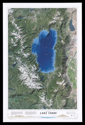
Name: Satellite relief map of Lake Tahoe
Barcode:
Publisher:
Date/Date Range Produced:
Date/Date Range Published:
Dimensions: 78 x 53 cm
Notes:
LC Call Number: G4362.T15 2000 .T35
OCLC: 47173741
Accession Number: OML-2000-136
Permenant URL: