Collection: Osher Collection
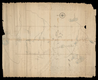
Name: Plan representing ten townships of land as laid out upon the road laid out by Charles Turner
Barcode:
Publishing Location:
Surveyor:
Date/Date Range Produced:
Language:
Map Type:
Dimensions: H 75 x W 56 cm
LC Call Number: G3733.S6 1812 T8
OCLC: 1105154609
Permenant URL: