Collection: Osher Map Library Collection
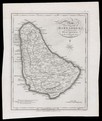
Name: Map of the Island of Barbadoes for the history of the West Indies by Bryan Edwards
Barcode:
Creator:
Printmaker:
Publishing Location:
Publisher:
Date/Date Range Produced:
Language:
Region Depicted:
Map Type:
Dimensions: 23 x 18 cm on sheet 27 x 23 cm
LC Call Number: G5141.F33 1794 E3
OCLC: 1158460018
Permenant URL: