Collection: Osher Map Library Collection
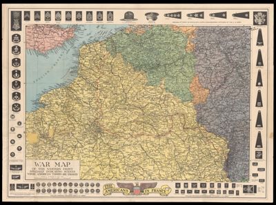
Name: War map of the Western Front specially indicating scenes where American troops are engaged
Barcode:
From Atlas:
Publishing Location:
Notes:
Publisher:
Date/Date Range Produced:
Language:
Region Depicted:
Map Type:
Dimensions: 2 maps on one sheet back to back; 1 color; 57 x 82 cm and 46 x 82 cm on sheet 72 x 98 cm
LC Call Number: G5721.S65 1918 N5
OCLC: 53707203
Subjects:
Permenant URL: