Collection: Osher Map Library Collection
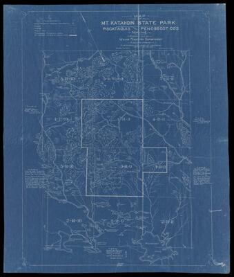
Name: Map of Mt. Katahdin State Park Piscataquis and Penobscot Co.'s Maine compiled by Maine Forestry Department
Barcode:
From Atlas:
Publishing Location:
Publisher:
Date/Date Range Published: Jan 20th, 1921
Language:
Region Depicted:
Map Type:
Dimensions: 71 x 62 cm on sheet 85 x 72 cm
Printing Process:
LC Call Number: G3732.K3 1921 B8
OCLC: 1204303534
Accession Number: OML-1921-133
Permenant URL: