Collection: Osher Map Library Collection
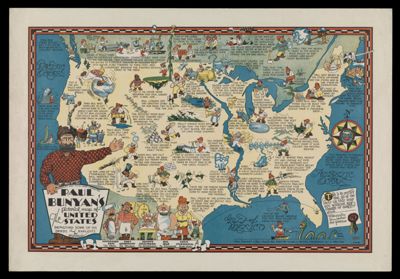
Name: Paul Bunyan's Pictorial Map of the United States Depicting Some of His Deeds and Exploits
Barcode:
Creator:
Publishing Location:
Notes:
Date/Date Range Produced:
Date/Date Range Published:
Language:
Region Depicted:
Map Type:
Dimensions: 22 x 32 cm
LC Call Number:
OCLC:
Permenant URL: