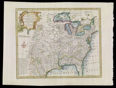
A New & Accurate Map of Louisiana, with Part of Florida and Canada and the Adjacent Countries Drawn from Surveys, assisted by the most approved English & French Maps & Charts the whole being regulated by Astron.l Observations By Eman. Bowen
Collection: Smith Collection
Name: A New & Accurate Map of Louisiana, with Part of Florida and Canada and the Adjacent Countries Drawn from Surveys, assisted by the most approved English & French Maps & Charts the whole being regulated by Astron.l Observations By Eman. Bowen
Barcode: 1893
Creator: Bowen, Emanuel, 1693 or 1694-1767
From Atlas: No
Notes: Note lower left: "No. 100".
Publisher: Bowen, Emanuel, 1693 or 1694-1767
Date/Date Range Produced: 1747
Date/Date Range Published: 1747
Language: English
Region Depicted: North America
Map Type: Geographical
Dimensions: H 41.7 x W 54.2 cm
Printing Process: Engraving
Printing Technique: Copper
Material Type: Paper
LC Call Number: G4010 .B6 1747
OCLC: 173319228
Donor: Smith
Subjects: AlligatorsAnimalsCartouches, Ornamental (Decorative arts)Clothing and dressColonial AmericaEast (U.S.)FlowersIndigenous peopleNative AmericansNorth Americaplants
Permenant URL: https://oshermaps.org/map/1893.0001