Collection: Smith Collection
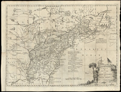
Name: A Map of the British and French Settlements in North America
Barcode:
Creator:
From Atlas:
Notes:
Date/Date Range Produced:
Date/Date Range Published:
Language:
Region Depicted:
Map Type:
Dimensions: 28 x 38 cm
Printing Process:
Printing Technique:
Material Type:
LC Call Number: G3300 .R51 1755
OCLC: 138110156
Accession Number: SM-1755-31
Donor:
Subjects:
Permenant URL: