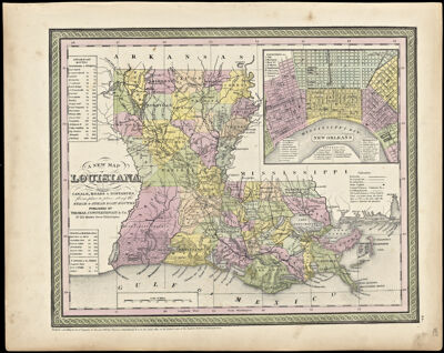
A New Map of Louisiana with its Canals, Roads & Distances from place to place, along the Stage & Steam Boat Routes
Collection: Smith Collection
Name: A New Map of Louisiana with its Canals, Roads & Distances from place to place, along the Stage & Steam Boat Routes
Barcode: 2226
Creator: Thomas, Cowperthwait & Co.
Publishing Location: Philadelphia
Notes: Inset map of the city of New Orleans. Includes steamboat routes
Notes: "Entered according to act of Congress, in the year 1850 by Thomas, Cowperthwait & Co. in the Clerks office of the District court of the Eastern District of Pennsylvania." "Published by Thomas, Cowperthwait & Co. No 253 Market Street Philadelphia."
Bottom right corner of map: "24"
Date/Date Range Produced: 1850
Date/Date Range Published: 1850
Language: English
Dimensions: 27 x 35
Printing Process: Lithograph
Printing Technique: Planar Surface
Material Type: Paper
LC Call Number: G4010 .T4 1850
OCLC: 180138117
Accession Number: SM-1850-23
Donor: Smith
Permenant URL: https://oshermaps.org/map/2226.0001