Collection: Osher Collection
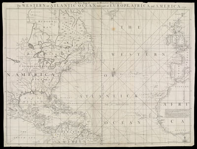
Name: A New Map, or (illegible) in Mercators Projection, of the Western or Atlantic Ocean, with part of Europe, Africa and America 1739.
Barcode:
Creator:
Date/Date Range Produced:
Date/Date Range Published:
Language:
Dimensions: H 61.5 x W 80.5 cm
Printing Process:
Printing Technique:
Material Type:
LC Call Number:
OCLC:
Donor:
Permenant URL: