Collection: Osher Collection
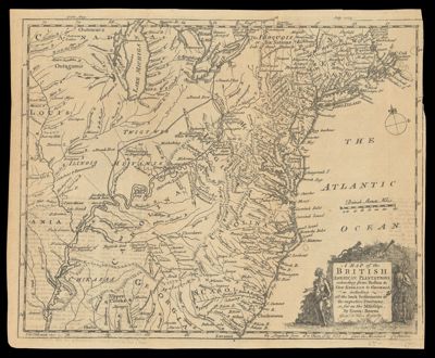
Name: A map of the British American plantations, extending from Boston in New England to Georgia : including all the back settlements in the respective provinces, as far as the Mississipi.
Barcode:
Creator:
Notes:
Date/Date Range Produced:
Date/Date Range Published:
Language:
Region Depicted:
Dimensions: H 23.3 x W 28.6 cm
Printing Process:
Printing Technique:
Material Type:
LC Call Number:
OCLC: 84884978
Donor:
Permenant URL: