Collection: Osher Map Library Collection
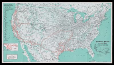
Name: Southern Pacific cotton belt, serving the West and Southwest with trains, trucks, intermodal, pipelines
Barcode:
Notes:
Publisher:
Date/Date Range Produced:
Date/Date Range Published:
Language:
Region Depicted:
Map Type:
Dimensions: 45.5 x 80.5 cm
LC Call Number: G3701.P3 1980 .R36
OCLC: 231579525
Permenant URL: