Collection: Osher Map Library Collection
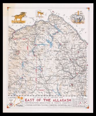
Name: The Phillips map of northern Maine east of the Allagash : northeastern Aroostook is potato country: logging, hunting, fishing, canoeing, snowmobiling
Barcode:
Publishing Location:
Publisher:
Date/Date Range Produced:
Date/Date Range Published:
Language:
Region Depicted:
Dimensions: 58 x 48 cm
LC Call Number:
OCLC: 34073689
Permenant URL: