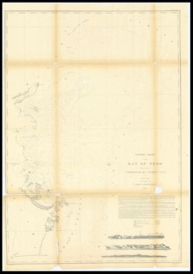
Western Shore of the Bay of Yedo
Collection: Smith Collection
Name: Western Shore of the Bay of Yedo
Barcode: 4601
Creator: Array
Printmaker: Siebert, Selmar
Publishing Location: Washington D.C.
Surveyor: Maury, William L
Date/Date Range Published: 1854
Language: English
Region Depicted: Japan
Map Type: Nautical chartsNavigation charts
Dimensions: Map: 92.5 x 64 cm on sheet: 99 x 69.5 cm
Material Type: Paper
LC Call Number: G7962.T66P5 1854 M3
OCLC: 1314103883
See Also: Western shore of the Bay of Yedo surveyed by order of Commodore M.C. Perry U.S.N. by Lieut. Wm. L. Maury and other officers of the Japan Expedition 1854 ; drawn by Edward Sels ; engraved by Selmar Siebert.
Donor: Smith
Permenant URL: https://oshermaps.org/map/4601.0001