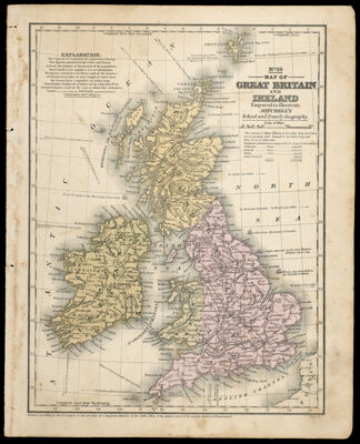
Map of Great Britain and Ireland engraved to illustrate Mitchell's School and Family Geography
Collection: Story Collection
Name: Map of Great Britain and Ireland engraved to illustrate Mitchell's School and Family Geography
Barcode: 12623
Printmaker: Young, J. H. (James Hamilton)
Publisher: Mitchell, S. Augustus (Samuel Augustus), 1792-1868
Publishing Location: Philadelphia
Notes: Notes below neat line: "Entered according to Act of Congress in the year 1840 by S. Augustus Mitchell, in the clerk's office of the district court of the eastern district of Pennsylvania." "J.H. Young, Sc."
Date/Date Range Produced: 1840
Language: English
Region Depicted: Great BritainIrelandUnited Kingdom
Printing Process: Engraving
Printing Technique: Steel
Material Type: Paper
Accession Number: ST-1840-9
Donor: Story
Permenant URL: https://oshermaps.org/map/12623.0001