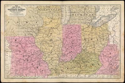
Map of the Chief Part of the Western States and Part of Virginia Engraved to Illustrate Mitchell's School and Family Geography.
Collection: Story Collection
Name: Map of the Chief Part of the Western States and Part of Virginia Engraved to Illustrate Mitchell's School and Family Geography.
Barcode: 12624
Notes: Note below neat line: "Entered according to Act of Congress in the year 1839 by S. Augustus Mitchell in the Clerk's Office of the District Court of Connecticut."
Publisher: Mitchell, S. Augustus (Samuel Augustus), 1792-1868
Date/Date Range Produced: 1839
Language: English
Region Depicted: IllinoisIndianaIowaKentuckyMichiganMissouriOhioWest VirginiaWisconsin
Dimensions: 29.5 x 45 cm
Printing Process: Engraving
Printing Technique: Copper
Material Type: Paper
LC Call Number:
OCLC:
Donor: Story
Permenant URL: https://oshermaps.org/map/12624.0001