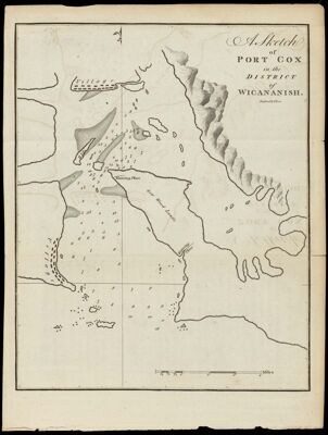
A Sketch of Port Cox in the District of Wicananish. Engraved by T. Foot.
Collection: Osher Collection
Name: A Sketch of Port Cox in the District of Wicananish. Engraved by T. Foot.
Barcode: 867
Creator: Meares, John, 1756?-1809
Printmaker: Foot, T. (Thomas)
From Atlas: No
Date/Date Range Produced: 1790
Date/Date Range Published: 1790
Language: English
Region Depicted: British ColumbiaClayoquot Sound, British ColumbiaVancouver Island, British Columbia
Map Type: Nautical charts
Dimensions: 24 x 19 cm.
Printing Process: Engraving
Printing Technique: Copper
Material Type: Paper
Accession Number: OS-1790-10
Donor: Osher
Subjects: British ColumbiaClayoquot Sound (B.C.)CoastsMaps--Early works to 1800Nautical chartsVancouver Island (B.C.)
Permenant URL: https://oshermaps.org/map/867.0001