A Plan of Sea Otter Harbour and St. Patrick's Bay, taken by Capt. James Hanna

Collection: Osher Collection

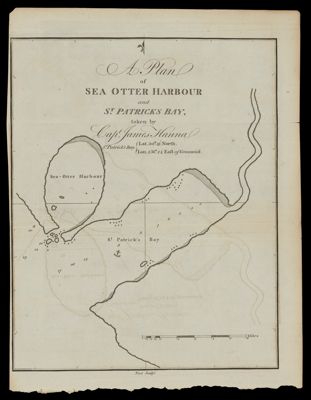
Name: A Plan of Sea Otter Harbour and St. Patrick's Bay, taken by Capt. James Hanna

Barcode: 870

Creator: Meares, John, 1756?-1809

Printmaker: Foot, T. (Thomas)

From Atlas: No

Publishing Location: London, England

Notes: Note: "Foot sculpt."

Date/Date Range Produced: 1790

Date/Date Range Published: 1790

Language: English

Region Depicted: British ColumbiaVancouver Island, British Columbia

Map Type: Nautical charts

Dimensions: 24 x18 cm.

Printing Process: Engraving

Printing Technique: Copper

Material Type: Paper

OCLC: 869473168

Accession Number: OS-1790-13

Donor: Osher

Subjects: British ColumbiaCoastsMaps--Early works to 1800Nautical chartsVancouver Island (B.C.)

Permenant URL: https://oshermaps.org/map/870.0001