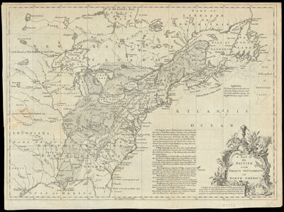
A Map of the British and French Settlements in North America.
Collection: Osher Collection
Name: A Map of the British and French Settlements in North America.
Barcode: 698
Creator: Lodge, John, -1796
From Atlas: No
Notes: From Gentlemen's Quarterly
Publisher: Gentleman's magazine (London, England)
Date/Date Range Produced: 1755
Date/Date Range Published: 1755
Language: English
Region Depicted: Atlantic StatesCanadaGreat Lakes Region (North America)New EnglandNewfoundland and LabradorNova ScotiaOntario
Map Type: GeographicalPolitical maps
Dimensions: H 29.4 x W 40 cm
Printing Process: Engraving
Printing Technique: Copper
Material Type: Paper
LC Call Number:
OCLC: 5404727
Donor: Osher
Subjects: Atlantic StatesCartouches, Ornamental (Decorative arts)Gentleman's magazine (London, England)Maps--Early works to 1800Newfoundland and LabradorScrollwork
Permenant URL: https://oshermaps.org/map/698.0001