Collection: Osher Collection
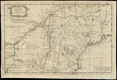
Name: A Map of that part of America which was the Principal Seat of War, in 1756.
Barcode:
Creator:
From Atlas:
Date/Date Range Produced:
Date/Date Range Published:
Language:
Region Depicted:
Map Type:
Dimensions: H 23.5 x W 34.5 cm
Printing Process:
Printing Technique:
Material Type:
LC Call Number:
OCLC: 8647193
Donor:
Permenant URL: