A View of Port Meares Latitude 54° 51' North. Longitude 227, 54. East of Greenwich. Engraved by T. Foot.

Collection: Osher Collection

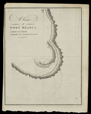
Name: A View of Port Meares Latitude 54° 51' North. Longitude 227, 54. East of Greenwich. Engraved by T. Foot.

Barcode: 875

Creator: Meares, John, 1756?-1809

Printmaker: Foot, T. (Thomas)

From Atlas: No

Date/Date Range Produced: 1790

Date/Date Range Published: 1790

Language: English

Region Depicted: British ColumbiaVancouver Island, British Columbia

Map Type: GeographicalNautical charts

Dimensions: H 26 x W 20.6 cm

Printing Process: Engraving

Printing Technique: Copper

Material Type: Paper

LC Call Number:

OCLC: 869472390

Donor: Osher

Subjects: British ColumbiaCoastsHarborsMaps--Early works to 1800Nautical chartsVancouver Island (B.C.)

Permenant URL: https://oshermaps.org/map/875.0001