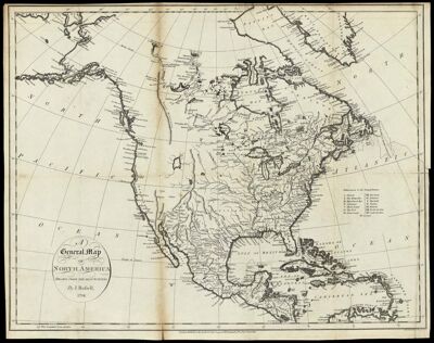
A General Map of North America, Drawn from the Best Surveys. By J. Russell, 1794.
Collection: Osher Collection
Name: A General Map of North America, Drawn from the Best Surveys. By J. Russell, 1794.
Barcode: 887
Creator: Russell, John, active 1733-1795Symonds, H. D. (Henry Delahoy)
Date/Date Range Produced: 1794
Date/Date Range Published: 1794
Language: English
Dimensions: 37 cm. x 48 cm.
Printing Process: Engraving
Printing Technique: Copper
Material Type: Paper
Notes: Notes: "London, Publish'd as the Act directs, July 26, 1794, by H.D. Symonds No. 20 Paster Noster Row." "J. Russell Sculpt."
"J. Russell Scuplt. Constitution Row Gray's Inn Lane."
Includes table titled "References to the United States"
OCLC: 48653214
Accession Number: OS-1794-5
Donor: Osher
Permenant URL: https://oshermaps.org/map/887.0001