Collection: Osher Map Library Collection
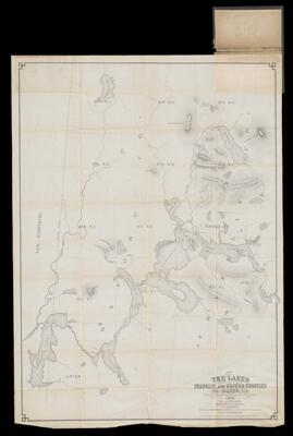
Name: The Lakes of Franklin And Oxford Counties, Maine from actual surveys made during the winter of 1876 surveyed and published by Harry P. Dill
Barcode:
Surveyor:
Publishing Location:
Date/Date Range Published: 1876
Language:
Region Depicted:
Map Type:
Dimensions: 86 x 61 cm folded to 17 x 10 cm
LC Call Number: G3732.R35 1876 D5
OCLC: 57490699
Accession Number: OML-1876-65
Permenant URL: