Collection: Osher Map Library Collection
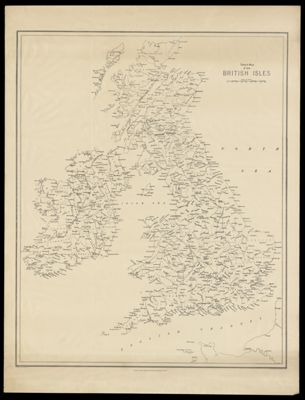
Name: Sketch Map of the British Isles
Barcode:
From Atlas:
Publishing Location:
Publisher:
Date/Date Range Produced:
Date/Date Range Published:
Language:
Region Depicted:
Dimensions: 101 x 77 cm
LC Call Number:
OCLC:
Donor:
Permenant URL: