Collection: Osher Collection
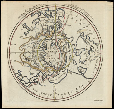
Name: A map of the icy sea in which the several communications with the land waters and other new discoveries are exhibited J. Gibson, sculpt
Barcode:
Creator:
Notes:
Date/Date Range Produced:
Date/Date Range Published:
Language:
Dimensions: 1 hemisphere on sheet 21 x 22 cm.
Printing Process:
Printing Technique:
Material Type:
LC Call Number: G3270 .G5 1760
OCLC: 76881651
Donor:
Permenant URL: