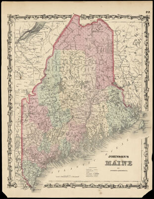
Johnson's Maine by Johnson & Browning.
Collection: Osher Collection
Name: Johnson's Maine by Johnson & Browning.
Barcode: 1100
Creator: Johnson & Browning
From Atlas: Yes
Publishing Location: New York
Notes: "22." in upper right corner of sheet. In 1863, publisher changed its name to Johnson and Ward. http://www.johnsonmapproject.org/history.php
Publisher: Johnson & Browning
Date/Date Range Produced: 1861
Date/Date Range Published: 1861
Language: English
Region Depicted: Maine
Map Type: GeographicalPolitical maps
Dimensions: H 43.5 x W 33.4 cm
Material Type: Paper
LC Call Number: G3730 .J64 1861
OCLC: 54525117
Donor: Osher
Subjects: CanalsCountiesJohnson & BrowningMaine--MapsMountainsRailroadsRivers and lakes
Permenant URL: https://oshermaps.org/map/1100.0001