Collection: Osher Collection
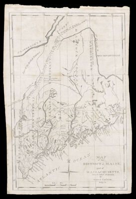
Name: Map of the District of Maine, part of Massachusetts, from the latest Surveys, by Osgood Carleton.
Barcode:
Creator:
Printmaker:
From Atlas:
Publishing Location:
Notes:
Publisher:
Surveyor:
Date/Date Range Produced:
Date/Date Range Published:
Language:
Region Depicted:
Map Type:
Dimensions: H 32 x W 21.5 cm
Printing Process:
Printing Technique:
Material Type:
LC Call Number:
OCLC: 55519714
Donor:
Subjects:
Permenant URL: