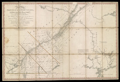
A New Map of the Province of Lower Canada, describing all the seigneuries, townships, grants of land &c. Compiled from plans deposited in the patent office Quebec: by Samuel Holland, esq., surveyor general. To which is added a plan of the rivers Scoudiac and Magaguadavic, surveyed in 1796,97, and 98, by order of the commissioners, appointed to ascertain the true river St. Croix intended by the treaty of peace, between His Britannic Majesty, and the United States of America.
Collection: Osher Collection
Name: A New Map of the Province of Lower Canada, describing all the seigneuries, townships, grants of land &c. Compiled from plans deposited in the patent office Quebec: by Samuel Holland, esq., surveyor general. To which is added a plan of the rivers Scoudiac and Magaguadavic, surveyed in 1796,97, and 98, by order of the commissioners, appointed to ascertain the true river St. Croix intended by the treaty of peace, between His Britannic Majesty, and the United States of America.
Barcode: 911
Creator: Holland, Samuel, 1728-1801
From Atlas: No
Notes: Note: "London. Published by William Faden, Geographer to His Majesty, and to His Royal Highness the Prince of Wales. No. 5, Charing Cross, August 12th 1802."
Publisher: Faden, William, 1749-1836
Date/Date Range Produced: 1802
Date/Date Range Published: Aug 12th, 1802
Language: English
Region Depicted: Maine
Map Type: Boundary mapsGeographicalPolitical mapsProperty maps
Dimensions: H 59 x W 88 cm
Printing Process: Engraving
Printing Technique: Copper
Material Type: Paper
LC Call Number: G3401.S1 H6 1802
OCLC: 70868188
Donor: Osher
Subjects: BorderlandsBoundariesLand grantsMaineMaine--MapsQuebec (Province)
Permenant URL: https://oshermaps.org/map/911.0001