Plan of Portland Harbour.

Collection: Osher Collection

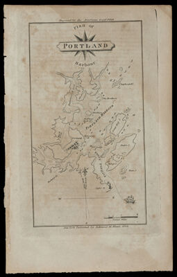
Name: Plan of Portland Harbour.

Barcode: 928

From Atlas: Yes

Publishing Location: New York

Notes: Note above neat line: "Engraved for the American Coast Pilot" Note below neat line: "New York, Published by Edmund M. Blunt. 1815."

Atlas Reference: American Coast Pilot

Subjects: Array

Publisher: Blunt, Edmund M. (Edmund March), 1770-1862

Date/Date Range Produced: 1815

Date/Date Range Published: 1815

Language: English

Region Depicted: MainePortland Harbor, Maine

Map Type: Nautical charts

Dimensions: H 23.2 x W 14.6 cm

Printing Process: Engraving

Printing Technique: Copper

Material Type: Paper

LC Call Number:

OCLC: 869476335

Donor: Osher

Permenant URL: https://oshermaps.org/map/928.0001