Collection: Osher Collection
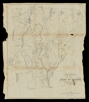
Name: Plan of the town of Warren, with the lots as originally laid out. Emily Eaton, delineator, 1851
Barcode:
Creator:
Printmaker:
From Atlas:
Publishing Location:
Notes:
Date/Date Range Produced:
Date/Date Range Published:
Language:
Region Depicted:
Map Type:
Dimensions: H 49.1 x W 41.6 cm
Printing Process:
Printing Technique:
Material Type:
LC Call Number: G46 .W22 1851 E38
OCLC: 54524752
Donor:
Subjects:
Permenant URL: