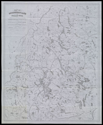
Map of Moosehead Lake and Northern Maine, Embracing the Headwaters of the Penobscot, Kennebec and St. John Rivers. Specially Adapted to the Uses of Sportsmen and Lumbermen. Compiled and Published by Lucius L. Hubbard, Cambridge, Mass.
Collection: Osher Collection
Name: Map of Moosehead Lake and Northern Maine, Embracing the Headwaters of the Penobscot, Kennebec and St. John Rivers. Specially Adapted to the Uses of Sportsmen and Lumbermen. Compiled and Published by Lucius L. Hubbard, Cambridge, Mass.
Barcode: 1183
Creator: Anonymous / Unknown Author
Printmaker: Meisel, A. (Augustus)
From Atlas: No
Publishing Location: Cambridge, MA
Notes: Notes: "Entered according to act of Congress, in the year 1879, by Lucius Hubbard, in the Office of the Librarian of Congress at Washington D.C." and "A. Meisel Lith. Boston."
Publisher: Hubbard, Lucius L. (Lucius Lee), 1849-1933
Date/Date Range Produced: 1879
Date/Date Range Published: 1879
Language: English
Region Depicted: Aroostook County, MaineMoosehead Lake, MainePenobscot County, MainePiscataquis County, MaineSomerset County, Maine
Map Type: Geographical
Dimensions: H 49.8 x W 61 cm
Printing Process: Lithograph
Printing Technique: Planar Surface
Material Type: Paper
LC Call Number: G3730.M59 1879
OCLC: 53285583
Donor: Osher
Subjects: Aroostook County (Me.)LakesMaine--MapsMoosehead Lake (Me.)Penobscot County (Me.)Piscataquis County (Me.)RiversSomerset County (Me.)Waterways
Permenant URL: https://oshermaps.org/map/1183.0001