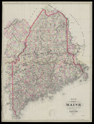
Map of the State of Maine Compiled Drawn & Published from Official Plans and Actual Surveys By George N. Colby Houlton, Me. 1885.
Collection: Osher Collection
Name: Map of the State of Maine Compiled Drawn & Published from Official Plans and Actual Surveys By George N. Colby Houlton, Me. 1885.
Barcode: 1197
Creator: George N. Colby & Co.
Printmaker: Bracher, Wm. (William)
From Atlas: No
Publishing Location: Houlton, ME
Notes: Notes: "Eng. by Wm. Bracher. 27 So. Sixth St. Philad." and "Copyright secured by George N. Colby & Co. 1883."
Publisher: George N. Colby & Co.
Date/Date Range Produced: 1885
Date/Date Range Published: 1885
Language: English
Region Depicted: Maine
Map Type: GeographicalPolitical maps
Dimensions: 84 x 63 cm.
Material Type: Paper
LC Call Number: G3730 1885.C6
OCLC: 1004273783
Donor: Osher
Subjects: CountiesGeorge N. Colby & Co.Maine--MapsMountainsRivers and lakes
Permenant URL: https://oshermaps.org/map/1197.0001