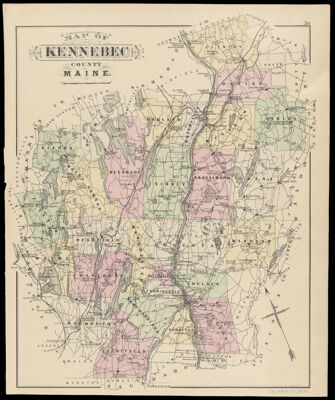
Map of Kennebec County Maine.
Collection: Osher Collection
Name: Map of Kennebec County Maine.
Barcode: 1213
Creator: Anonymous / Unknown Author
From Atlas: Yes
Publishing Location: Houlton, ME
Notes: From: Colby's Atlas of the State of Maine published by Colby & Stuart, Houlton, Maine, 1887. Verso: "City of Augusta". In upper right margin: "59"
Atlas Reference: Colby's Atlas of the State of Maine, 1887
Subjects: Array
Publisher: Colby & Stuart
Date/Date Range Produced: 1887
Date/Date Range Published: 1887
Language: English
Region Depicted: Kennebec County, Maine
Map Type: Boundary mapsPolitical maps
Dimensions: H 41.2 x W 33.8 cm
Material Type: Paper
LC Call Number:
OCLC: 869476434
See Also: City of Augusta Kennebec Co.
Donor: Osher
Permenant URL: https://oshermaps.org/map/1213.0001