Collection: Osher Collection
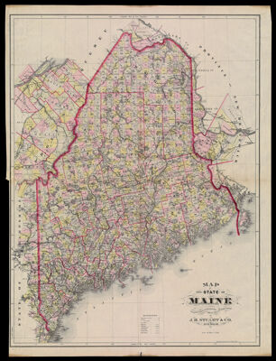
Name: Map of the State of Maine Compiled Drawn & Published from Official Plans and Actual Surveys By J.H. Stuart & Co. South Paris, Me.
Barcode:
Creator:
From Atlas:
Publishing Location:
Notes:
Publisher:
Surveyor:
Date/Date Range Produced:
Date/Date Range Published:
Language:
Region Depicted:
Map Type:
Dimensions: 84 x 63 cm.
Material Type:
LC Call Number: G3730 1890.S7
OCLC: 1004274212
Accession Number: OS-1890-21
Donor:
Subjects:
Permenant URL: